ARTWORKS ON PAPER
Tuesday, 15 - Tuesday, 22 September 2020
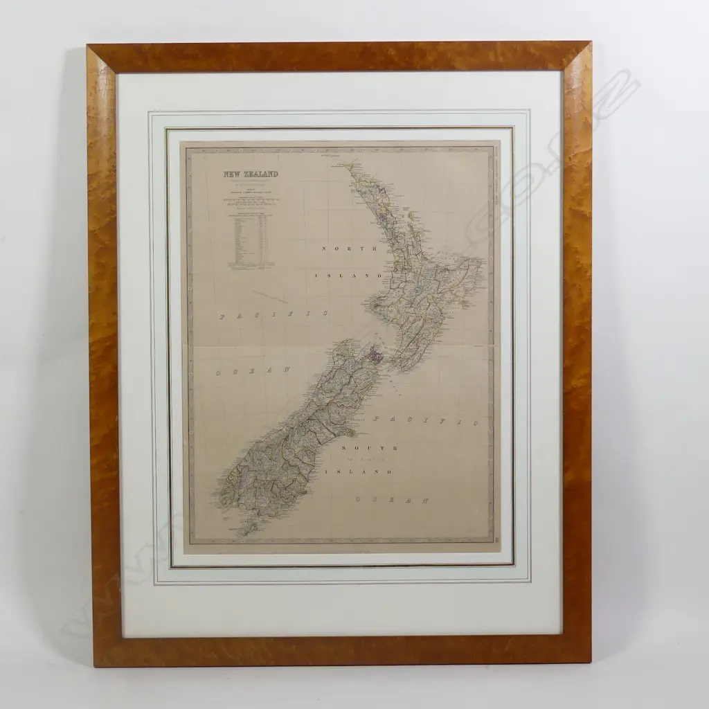
A steel engraved
Realised: $220 plus premium
Current Bid $220 (32 bids, reserve met)
Bidding for this lot has now closed
This lot is now closed 22 Sep 6:52 PM (NZST)
Buyer premium and GST is additional to your bid.
All bids are subject to our buyer terms and conditions
Lot Details
hand coloured map of New Zealand, from Keith Johnston's General Atlas, 1879 edition, plate 28, the 63 counties in outline colour, fold at centre as published. 570 x 440mm. Framed and glazed. overall 900 x 720mm. Est. 200 - 400