SPECIAL CHRISTMAS AUCTION
Thursday, 9 - Monday, 13 December 2021
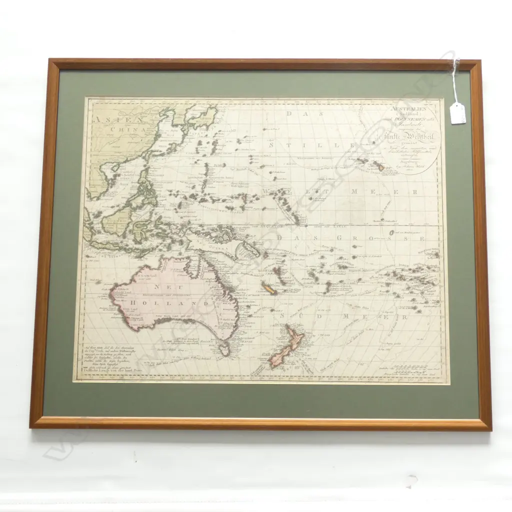
1802 FRAMED MAP - AUSTRALIA (NEW HOLLAND) & POLYNESIA 600 X 480MM
Current Bid $440 (19 bids, reserve met)
This lot is now closed 13 Dec 7:18 PM (NZST)
Buyer premium and GST is additional to your bid.
All bids are subject to our buyer terms and conditions
Lot Details
By Johanes Walch. 'Australien (Sudland) auch Polynesien odex Inselwelt...Walch's map of the Western Pacific and Southeast Asia, first published in Augsburg in 1802. It celebrates the routes and encounters of the recent European voyages to the region. The map provides a plethora of place names in Australia, New Zealand, and the island Pacific. It stretches from Sumatra in the west to Pitcairn in the east, recently made famous by Bligh’s mutineers. New Zealand marks out the southern reaches of the map, with Japan and Korea in the north. The Australian continent's outline is certainly recognizable, having been updated from the early editions to show improved knowledge of the southern coast of the continent. The uncertain shape of New Guinea on this map reflects what little charting had taken place by 1802. New Zealand is shown as two islands, based on James Cook’s and others’ charting utilizing a phenetic spelling of the Maori names for them. The map has a simple oval cartouche in the upper right corner and a scale in the lower right. In the lower left is the following note: On this map you will find the three sea trips of the Capt Cook, and other circumnavigators displayed; In order to show the direction in which they sailed, the lines designated by the travels were furnished with small posts [arrows].

